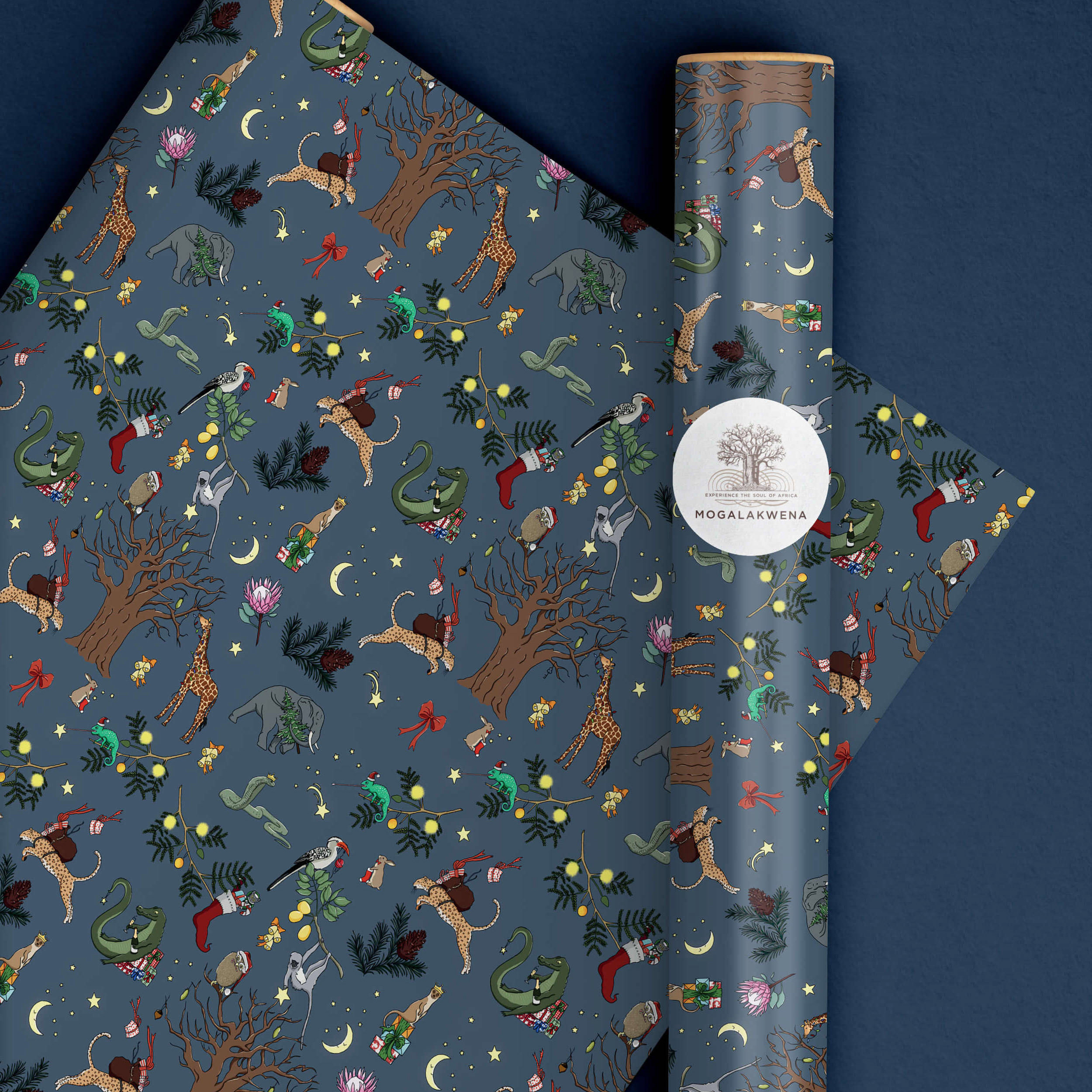


Mogalakwena is a 4,000 hectare reserve, located in Limpopo, the northernmost province of South Africa, bordering Botswana, Zimbabwe and Mozambique. Mogalakwena is owned and run by the Coetsee family who enjoys sharing their passion for nature, wildlife, culture and creativity.
I started working with the Coetsee family after my second trip to South Africa. This map was in their mind from the start but it took a couple of months to gather the ideas, decide what is necessary to be on and what the look & feel of the map would be.
The illustration of this map was a long process. I first studied the place from Google Map using the satellite view in order to get the correct proportions and distances between buildings, roads, river, trees, etc. Then, I walked through the place for sketches, trying to imagine how it would look from the top and taking notes and photos of the specific elements to include. Each element (including the trees and bushes) are at the exact same position in real life. However, I intentionally opened the bush a little to see elements better. Finally, I illustrated the map digitally on Photoshop.
Can you spot the giraffe, the zebras, the crocodile and the Landy ? ;)
CLIENT
Mogalakwena Group - South Africa
PROJECT DATE
June 2019
CATEGORY
Illustration
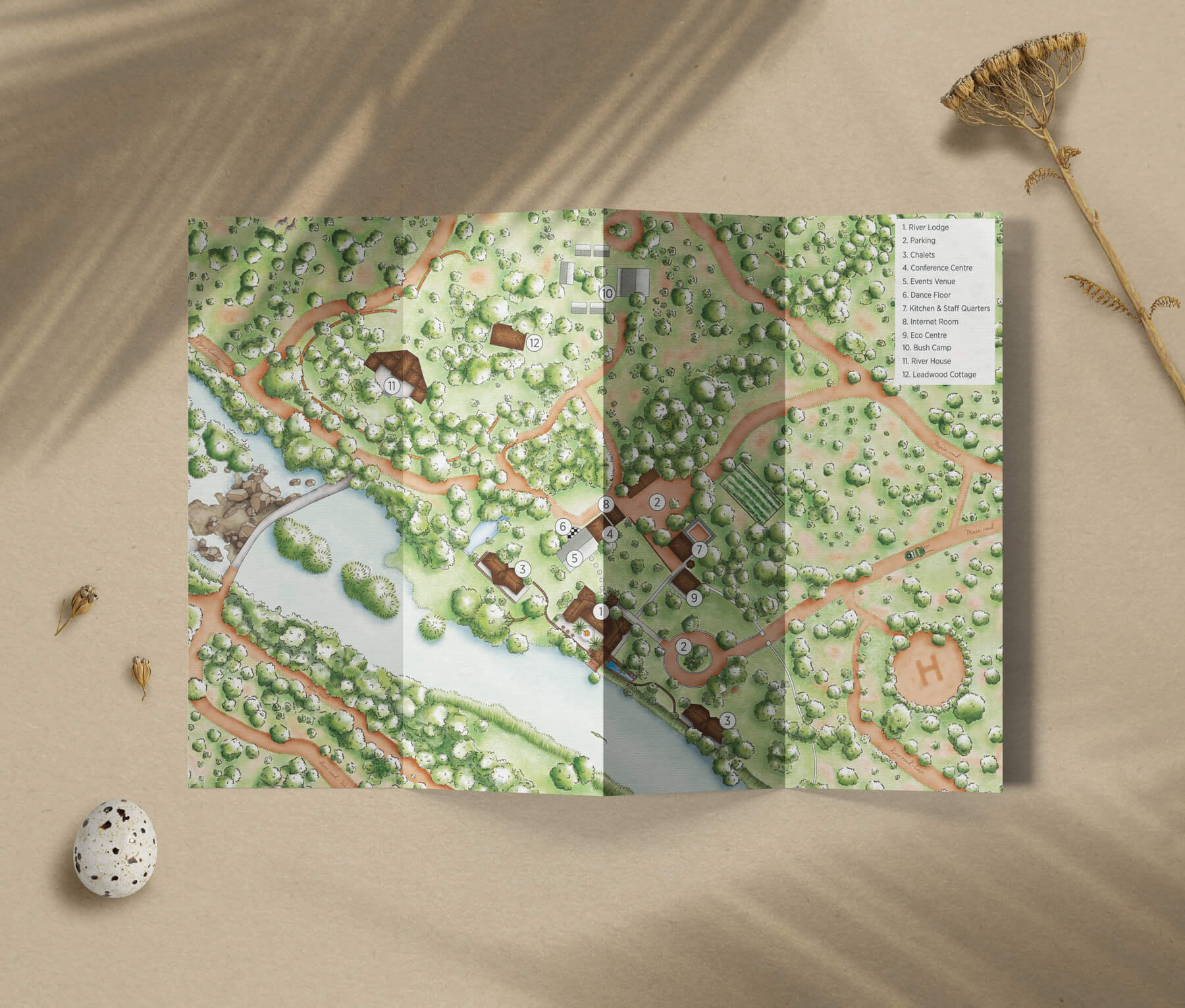
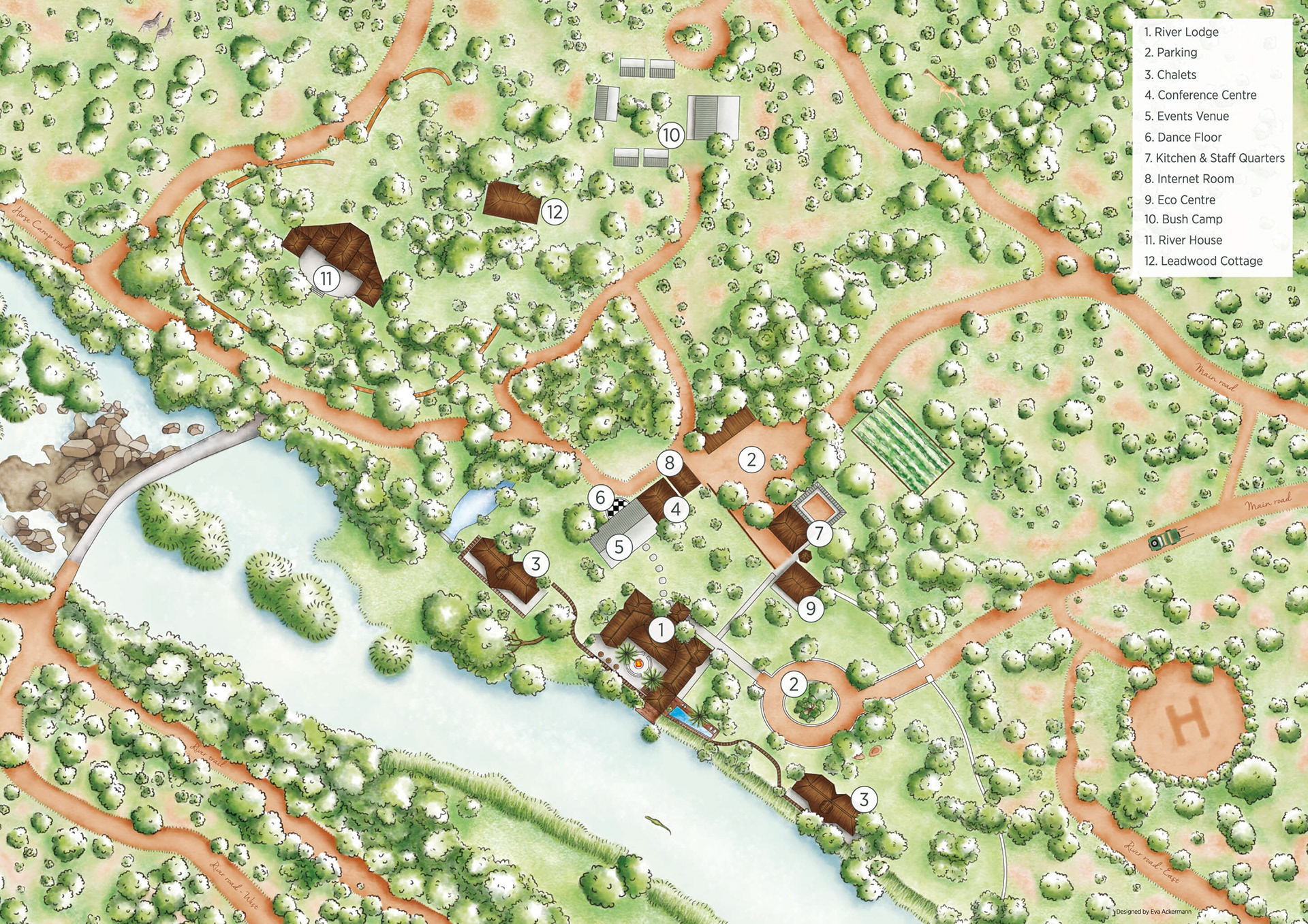
Illustrated map of Mogalakwena River Lodge and surroundings